Zakynthos · Zante · Ionian Islands
Zakynthos Beaches: Complete Guide to the Best Beaches in Zante
Explore Zakynthos beaches by location, beach type, facilities and what you want to do. Compare sandy beaches, quiet coves, snorkelling spots, family beaches and famous places such as Gerakas, Xigia and Navagio.
What are you looking for?
- 34 Official bathing waters Greek state register, with government coordinates
- 42 Name confusions resolved Beaches that share a name, or are not where you think
- 12 Blue Flags, 2026 And only 6 of them have a lifeguard
- 9 Lifeguarded beaches Port Authority designation, 1 June - 30 September
Beach data is drawn from the Greek state bathing-water register, the National Marine Park's founding Presidential Decree, Port Authority designations, Blue Flag registers and measured map geometry. Where a fact could not be established, this site says so rather than guessing.
Last checked
Start here
Find the right beach for your day
Zakynthos has no single best beach. It has a best beach for what you want to do today.
- Travelling with children? Best family beaches Ranked on the state register's own seabed gradient, not on adjectives.
- Want clear water? Beaches for swimming The clearest water is over rock, and it is almost never where the crowds are.
- Want snorkelling? Best snorkelling beaches The seven most-visited sand beaches all rate 2 out of 5. Go west.
- Want somewhere quiet? Quiet and hidden beaches Quiet usually means steps, a rough track, or both. We say which.
- No rental car? Beaches you can reach without one KTEL runs eight routes in winter and ten in high summer. Only some reach a beach.
- Want facilities? Beaches with sunbeds and tavernas Only 6 of 34 registered beaches have a state-recorded toilet.
The short list
Best Beaches in Zakynthos
Eight beaches that are genuinely different from one another — not the same sandy strip eight times.
Gerakas Beach
sand Access level 2 Turtle nesting Blue Flag 2026 Lifeguard
- Parking
- YES
- Sunbeds
- LIMITED
- Taverna
- LIMITED
Best for Families, and the strictest turtle rules on the island
Read the guideBanana Beach
sand Access level 1 Blue Flag 2026 Lifeguard
- Parking
- YES
- Sunbeds
- YES
- Taverna
- YES
Best for The longest sand and the fullest facilities
Read the guideXigia Beach
pebble Access level 3
- Parking
- YES
- Sunbeds
- LIMITED
- Taverna
- LIMITED
Best for An unusual cold sulphur-spring swim, not a beach day
Read the guideMakris Gialos
sand & pebble Access level 1
- Parking
- LIMITED
- Sunbeds
- YES
- Taverna
- YES
Best for Snorkelling — the only real cove on the north-east coast
See it on the mapPorto Limnionas
rock platform Access level 3
- Parking
- LIMITED
- Sunbeds
- LIMITED
- Taverna
- YES
Best for Rock swimming in deep clear water, with a taverna above
Read the guideDafni Beach
sand Access level 4 Turtle nesting
- Parking
- LIMITED
- Sunbeds
- LIMITED
- Taverna
- YES
Best for A quiet protected nesting beach, down a rough road
See it on the mapAlykes Beach
sand Access level 1 Blue Flag 2026 Lifeguard
- Parking
- YES
- Sunbeds
- YES
- Taverna
- YES
Best for Shallow water, no steps anywhere, and a bus
See it on the mapPorto Roxa
rock platform Access level 2
- Parking
- LIMITED
- Sunbeds
- LIMITED
- Taverna
- YES
Best for Flat rock slabs and the best snorkelling on the west coast
See it on the map
See the full ranking, and the beaches whose reputation the evidence does not support →
Where everything is
Zakynthos Beaches Map
All 46 beaches on one map. Filter by sand, swimming, snorkelling, facilities, access and family suitability.
By where you are staying
Find Beaches Near Where You're Staying
Most people choose a beach from the hotel they already booked. These are the clusters that actually hold together on the road.
Laganas Bay
The big shallow bay: Laganas, Kalamaki, Agios Sostis and Cameo. Inside the Marine Park, and the busiest sand on the island.
2 beaches on the mapTsilivi & Planos
The gentlest seabed measured anywhere here — 5 m of depth is 570 m offshore. Best bus service after Laganas.
1 beach on the mapAlykes & Alykanas
The calmest water on the island by measurement, and the only major beach with no steps anywhere.
2 beaches on the mapVasilikos
Gerakas, Banana, Porto Zoro, Dafni. Turtle rules on one side of the peninsula, jet skis on the other.
3 beaches on the mapZakynthos Town & Argassi
There is no beach in the town itself. Argassi is the nearest sand, and it has no statutory lifeguard.
See on the mapThe north & Skinari
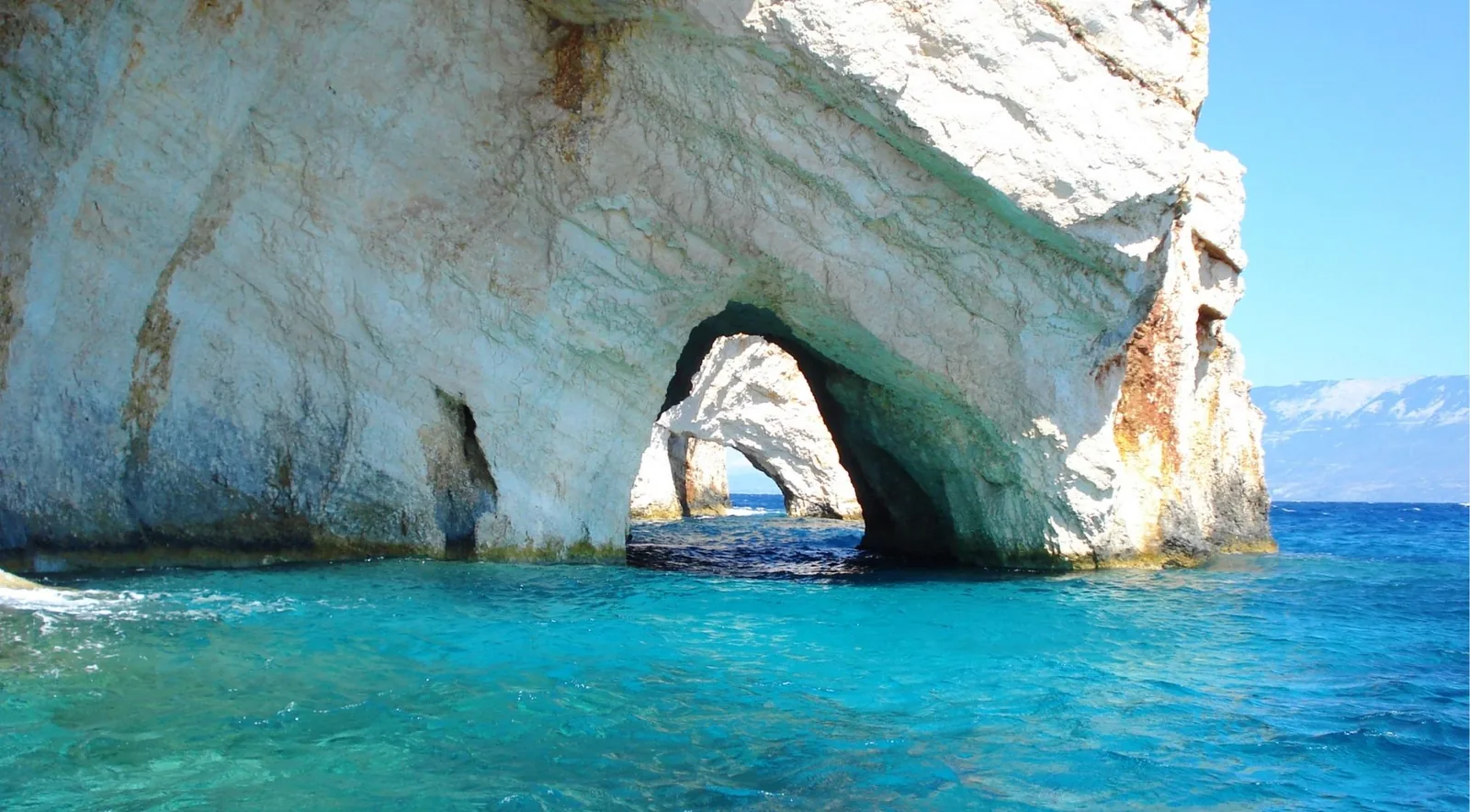
Xigia's sulphur springs, Makris Gialos for snorkelling, and the Blue Caves boats from Agios Nikolaos.
See on the mapThe west coast
Rock platforms over deep water, no sand at all, and four separate driving errands rather than one strip.
1 beach on the map
By type
What Kind of Beach Are You Looking For?
These open the map with a filter applied, so you can combine them — sandy and step-free and reachable by bus.
The names you already know
Zakynthos Beaches You Have Probably Heard About
Each of these is widely described in a way the evidence does not support. Here is the short version.
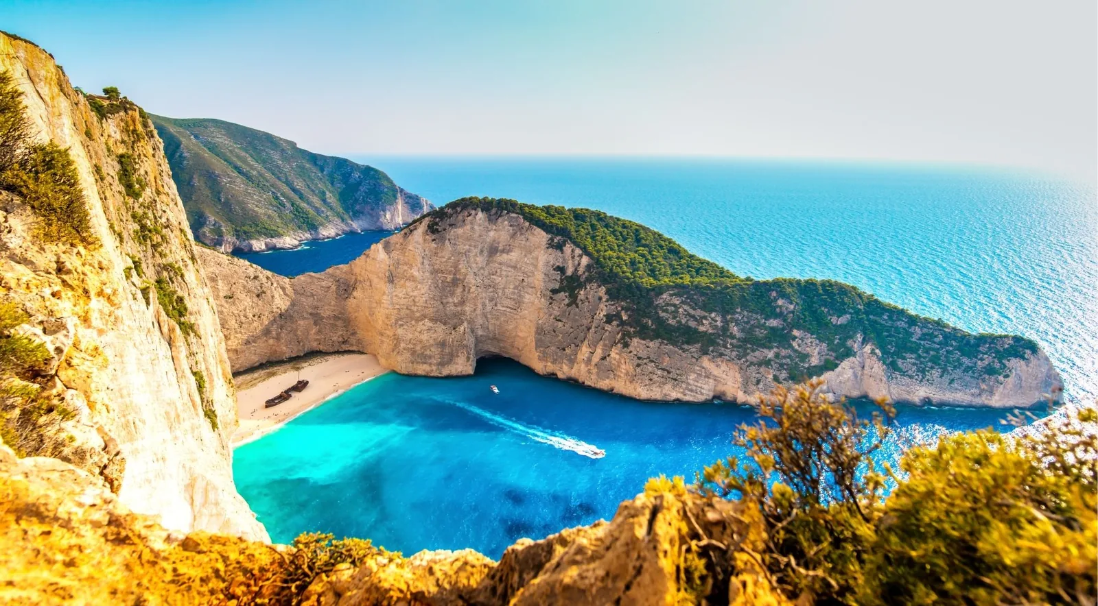
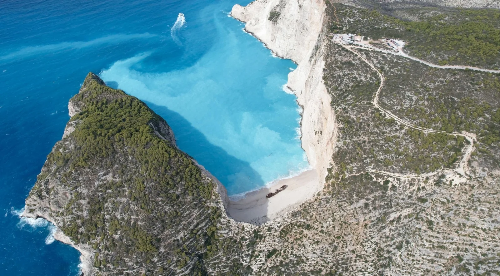
Navagio / Shipwreck Beach
You cannot land on it and cannot swim there. Closed by decree for a fourth season, and the boats circle the bay.
Gerakas
Not the steep cliff descent its reputation suggests: 75 m of asphalt, a boardwalk and one short flight of steps.
Xigia
The water contains no collagen — that is chemically impossible. It is colloidal sulphur, and it is cold.
Banana Beach
There is no Big Banana and no Small Banana. One continuous 1,549 m strip, one Blue Flag, one registered beach.
Porto Limnionas
No sand and no shingle. A limestone inlet you climb into, and the October sunset lines up with its axis.
Marathonisi (Turtle Island)
Boat only, capped at 200 visitors, umbrellas banned, and the beach must be empty by sunset.
Caretta caretta
Zakynthos Turtle Beaches
Six beaches in Laganas Bay are loggerhead nesting sites inside the National Marine Park. Nesting runs May to August and hatching from mid-July to the end of October. The rules below are the decree's own numbers, and they are enforced.
Gerakas
60 umbrellas and 120 seats, 350 visitors, open 07:00 to sunset. You may not bring your own umbrella.
Kalamaki
150 umbrellas and 300 seats, set 3-5 m from the water and removed after sunset.
Dafni
100 visitors, umbrellas banned outright, down 2.7 km of unpaved road at about 9%.
Laganas
The busiest of the six, and the least restricted — the decree gives it no land code at all.
Marathonisi
Boat only. 150 m of beach, 200 visitors, no umbrellas, no towels beyond about 5 m from the water.
Sekania
Closed to everyone. Over 45% of the park's nests on 600-650 m of sand, and not visible from any lawful vantage point.
One correction worth carrying with you: the boat code of conduct around turtles is compulsory law, not a voluntary courtesy — a Coast Guard decision of 29 May 2018 made it binding. Much of the travel web still calls it voluntary, copying a page that was never updated.
Photo Gallery
Through the Lens
Captured by our guests and guides.
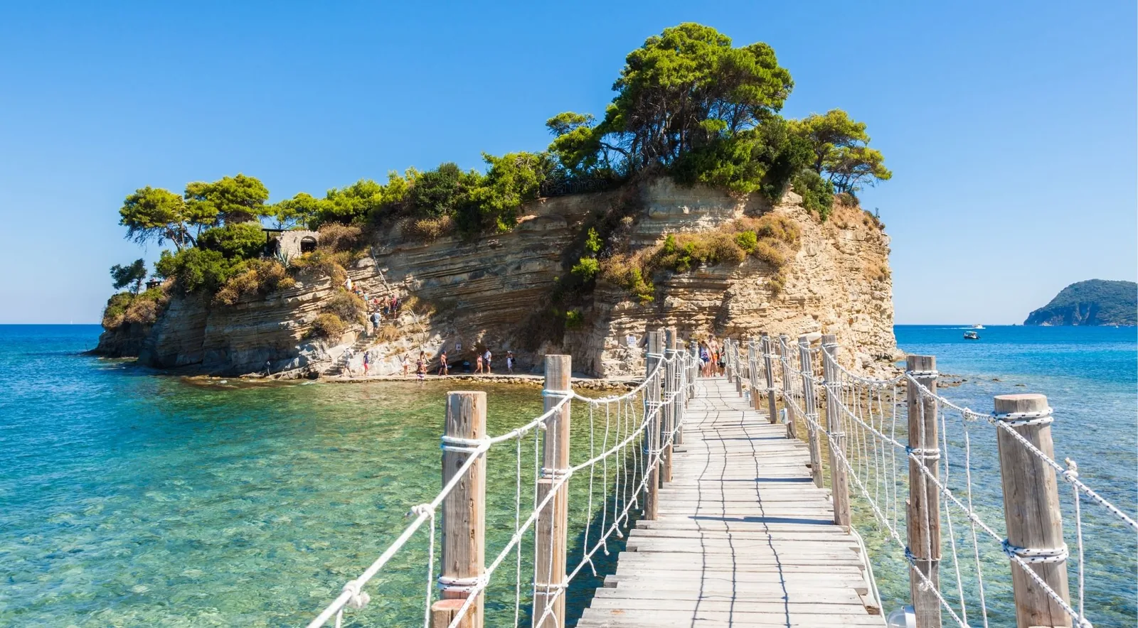
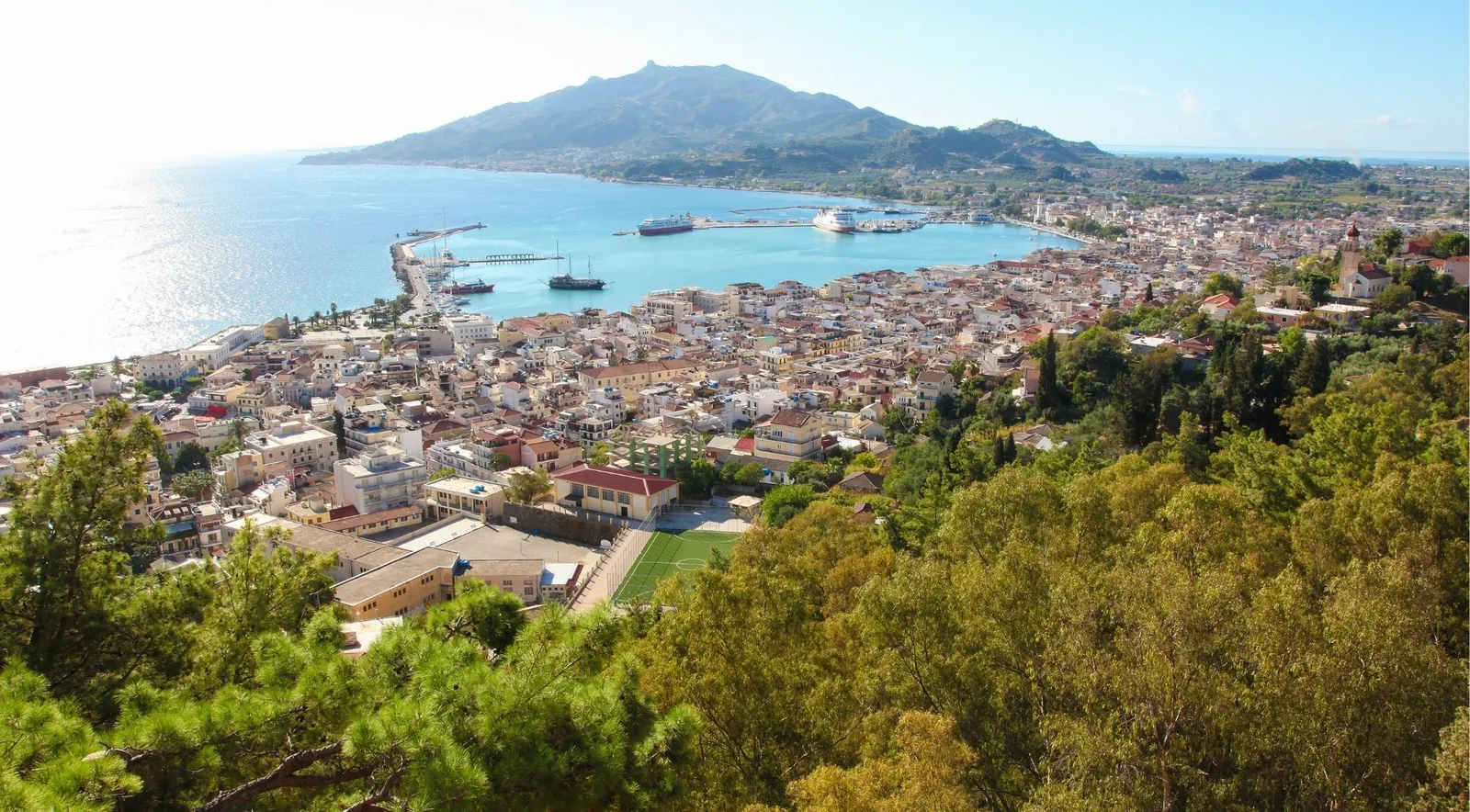
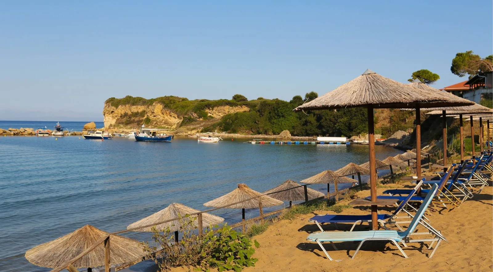
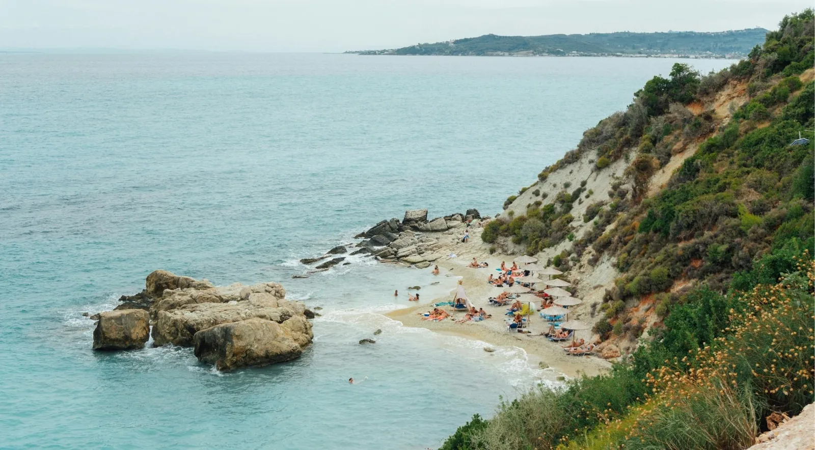
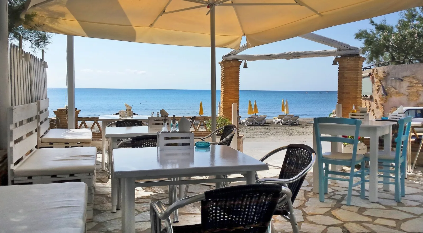
Practical
Plan Your Beach Day
The questions that decide how a beach day actually goes.
Which beach on a windy day?
The east coast is calmer than the west under every wind direction measured, and the wind here peaks in the late afternoon, not at midday.
Beaches without a rental car
KTEL runs eight routes in the shoulder season and ten in high summer. No route serves the west coast at all.
Beach parking
Which car parks are free, which are a five-space scrape on a cliff, and where the road ends short of the water.
Step-free beaches
Four SeaTrac units were installed in August 2026. Before that the island had none.
Being written next: Zakynthos water temperature by month, Beach conditions month by month, Beaches with tavernas, Sunbed prices, where they can be verified.
How this site works
What is measured, and what nobody actually knows
The short version of why this site sometimes disagrees with the others.
Most Zakynthos beach guides are written from other Zakynthos beach guides. This one is built from the Greek state’s bathing-water register, the National Marine Park’s founding Presidential Decree, Port Authority designations, the Blue Flag registers and measured map geometry — and where those sources disagree with each other, or with the received wisdom, this site says so instead of picking the tidier answer.
That produces some unusual results. Navagio is missing from the best-beaches ranking, because you may not set foot on it and a list that includes a beach nobody can visit is a postcard rather than a ranking. The water at Xigia contains no collagen — collagen is an animal protein and cannot leach out of limestone; the milkiness is colloidal sulphur. There is no Big Banana and no Small Banana: one continuous strip, one Blue Flag, one registered beach, and two bar operators whose names got attached to the halves. A Blue Flag does not mean a lifeguard. Six of the twelve flagged beaches have none, and Bouka and Gaidaros fly flags 1.5 km from Tsilivi, which has four lifeguards on duty.
Some of the most useful things here are absences. Nobody publishes a water temperature for Xigia, so this site says so rather than inventing one. No authority publishes rip-current mapping for Zakynthos at all, so the sites that warn about rips at Gerakas and Dafni are repeating each other — the better-evidenced hazard at both is an offshore wind that peaks in the late afternoon and pushes inflatables out. Only six of thirty-four registered beaches have a state-recorded toilet.
The practical rules that come out of the measurements are simpler than you would expect. Swim in the morning: the wind roughly doubles between breakfast and six in the evening and comes from the north-west. If the west coast is rough, go east — the east coast is calmer under every wind direction measured. And the sea in November is warmer than the sea in May, which is worth knowing if you are choosing between the shoulder months.
Where a fact could not be established, the page says which source would settle it. That is the whole method, and it is the reason to trust the rest.
Getting to the water
Boat trips around the island
Some of the best-known places on Zakynthos have no road to them — Navagio, the Blue Caves, Marathonisi. A boat is not an upgrade to those; it is the only way in.
The full list
Explore All Zakynthos Beaches
46 beaches, coves, rock platforms and named swimming spots. Those with a guide are marked; the rest open on the map.
- Agios Nikolaos (Skinari) port beach
- Agios Nikolaos Beach (Vasilikos) Παραλία Αγίου Νικολάου
- Agios Sostis Παραλία Αγίου Σώστη
- Alykanas Beach Αλυκανάς
- Alykes Beach Παραλία Αλυκές
- Amboula Tragaki
- Ammoudi
- Argassi - Chrysi Akti Παραλία Αργασίου
- Arkadianou - Koukla
- Banana Beach Παραλία Μπανάνα Guide
- Blue Caves and Cape Skinari Γαλάζιες Σπηλιές
- Cameo Island Νησίδα Άγιος Σώστης
- Dafni Beach Παραλία Δάφνης
- Fokias / Seal Cave (the Agalas sea cave) Αγαλάς
- Gaidaros Beach Μπούκα
- Gerakas Beach Παραλία Γέρακα Guide
- Kalamaki east / East Laganas nesting stretch
- Kaminia (Lithakia shore) Πόρτο Καμίνια
- Katragaki Beach (the beach of Kypseli)
- Keri Caves and the Mizithres Παραλία Κεριού
- Korakonisi Κορακονήσι
- Krioneri Municipal Beach (Plaz EOT) Κρυονέρι
- Laganas - Agios Sostis 1 (north Laganas Bay) Παραλία Λαγανά
- Limni Keriou (Keri Beach) Παραλία Λίμνης Κεριού
- Little Xigia (Xigia 2 / Pelagaki)
- Makris Gialos Μακρύς Γιαλός
- Marathonisi (Turtle Island) Μαραθονήσι
- Mikro Nisi Μικρό Νησί
- Navagio (Shipwreck Beach) Ναυάγιο Guide
- Navagio Viewpoint Το πλάτωμα του Ναυαγίου
- Plaka Beach (Perivolakia) Πλάκα
- Plakaki Beach Παραλία Πλακάκι
- Porto Kaminia
- Porto Limnionas Πόρτο Λιμνιώνας Guide
- Porto Roma Πόρτο Ρώμα
- Porto Roxa Πόρτο Ρόξα
- Porto Stenitis Όρμος Στενίτης
- Porto Vromi Πόρτο Βρώμη
- Porto Zoro Πόρτο Ζόρο
- Psarou Beach (Zakynthos) Ψαρού
- Sekania Beach Παραλία Σεκανίων
- Stili Pesonton (Zakynthos Town waterfront)
- Tsilivi Beach (Planos) Παραλία Τσιλιβί
- West-coast sea caves (Porto Vromi to Navagio)
- Xechoriatis Ξεχωριάτης
- Xigia Beach Παραλία Ξίγκια Guide
Some names you may have read are missing on purpose. Klimatia is not a Zakynthos toponym, Porto Azzurro is a beach bar rather than a beach, and several west-coast "sea caves" are one visiting mapper's labels from a single boat trip in 2023. This site does not list places it could not establish exist.
Zakynthos Beaches: Common Questions
Short answers, each linking to the page that covers it properly.
There isn't one, and any site that names a single winner is guessing. Measured across scenery, water, facilities and access, Banana is the most complete beach for the most people, Porto Limnionas is the best scenery-plus-snorkelling combination you can drive to, and Tsilivi has the gentlest seabed on the island. Navagio is deliberately absent: you may not set foot on it. See the full ranking and the reasoning.
It depends on what you want, and the split is unusually clean. The east and south-east (Vasilikos, Tsilivi, Alykes) have the sand, the shallow water and the facilities. The west has no sand at all — limestone platforms over deep clear water, and the island's best snorkelling. The south, in Laganas Bay, is where the turtles nest. Browse them on the beach map.
Yes — most of the east and south coast is sand, because that side of the island is uplifted old seabed. The west coast is hard limestone that fails as rockfall rather than eroding into sand, which is why it has almost none. Worth knowing before you go: Navagio's famous shore is limestone gravel, not sand, and Porto Limnionas, Porto Roxa and Korakonisi are rock platforms with no beach at all.
Tsilivi on a hard number: the state's own bathing-water profile records the seabed still under 5 m at 570 metres offshore, the gentlest gradient measured anywhere on the island. Alykes and Alykanas follow, both with soft walk-in sand and no steps. Full ranking, and the beaches that are marketed to families but should not be, on best family beaches.
Over rock, not sand — sand clouds as soon as people walk into it. The clearest water is on the west coast (Porto Limnionas, Porto Roxa, Korakonisi) and at the Keri Caves and Blue Caves, all of which are limestone. The seven most-visited sand beaches all rate 2 out of 5 for snorkelling for exactly this reason.
No. Swimming inside the bay is prohibited and no vessel may land, under a decision that runs to 31 October 2026 — the fourth consecutive season it has been closed, because the cliffs above are failing. Boats may approach but must stay 50 m off the shore, so a “Shipwreck Beach” trip is a photo stop from the water. Current status, with the dates.
Six nesting beaches in Laganas Bay: Gerakas, Kalamaki, Dafni, Laganas, Marathonisi and Sekania. Sekania takes over 45% of the park's nests and is closed to everyone. Nesting runs May to August, hatching mid-July to the end of October, and each beach has its own umbrella and visitor caps written into the Marine Park decree.
For the resort beaches, no — Laganas, Kalamaki, Tsilivi and Argassi all have a bus. For anything else, effectively yes. KTEL runs eight local routes in the shoulder season and ten in high summer, none of which serves the west coast, and there are no taxi ranks west of the island's spine or north of Alykes. Note also that no route runs on a Sunday in May or early June.
Still have questions? Email us at info@zakynthosbeaches.com